This page describes an image Horizontal Coordinate System
下载文件 ( 图像 1.76 MB)
下载 PDF 文件 (PDF file 165.78 kB)
Also available in black and white
下载文件 ( 图像 483.06 kB)
下载 PDF 文件 (PDF file 136.70 kB)
图示说明:
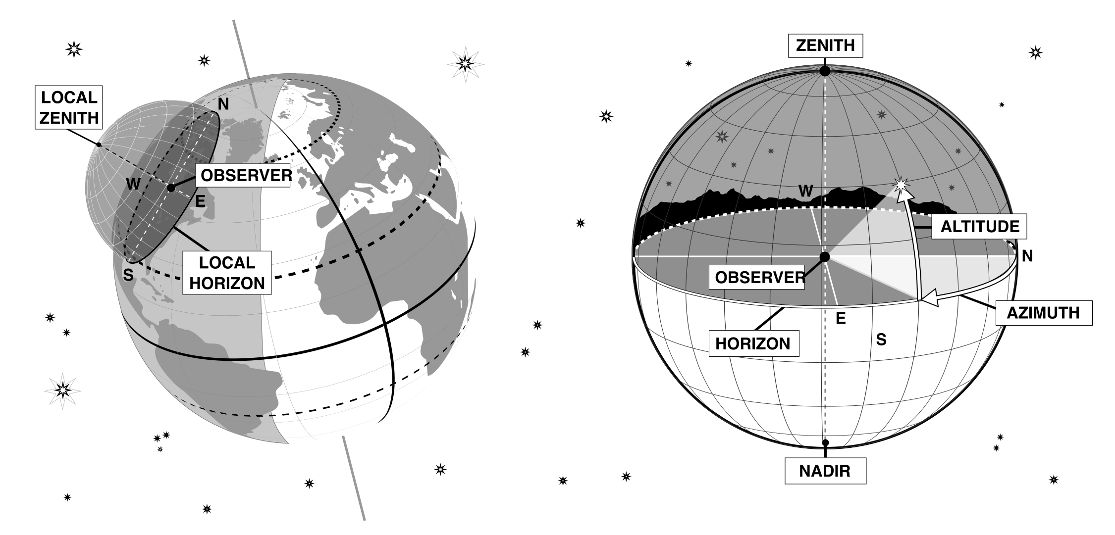
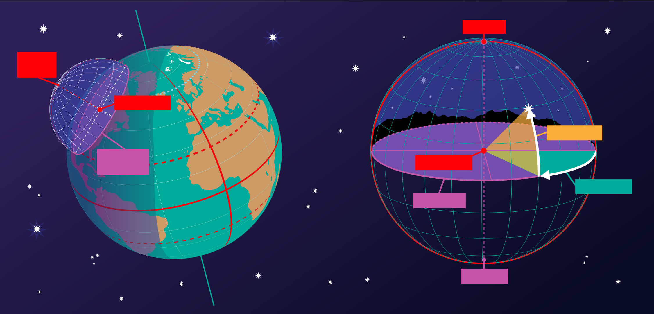
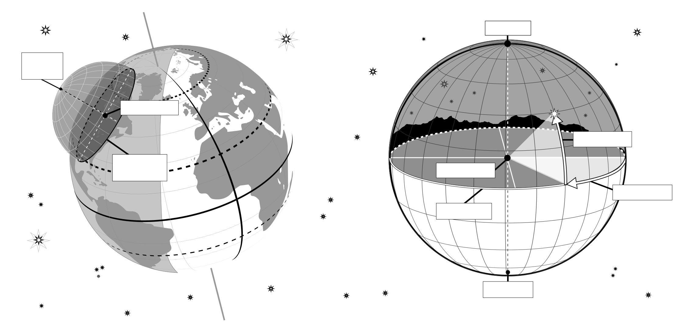
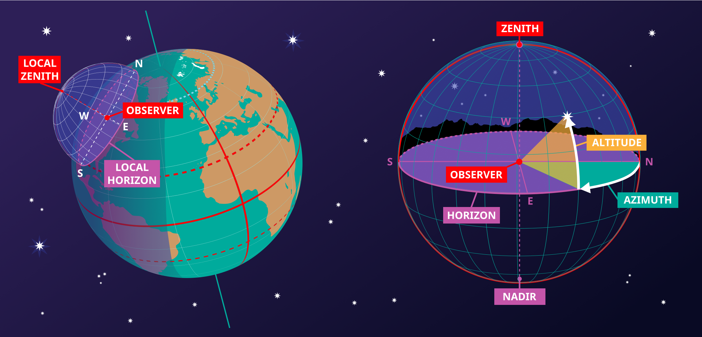
This image shows the horizontal coordinate system of an observer on Earth. On the right we see the coordinate system in the local context of the observer. The observer appears here as a point surrounded by the celestial sphere. The ground appears as a plane, while the Earth is round, we can approximate the ground in the area around the observer as a plane. The line where this plane intersects with the celestial sphere is the horizon. The point directly above the observer is the zenith, the point directly below the observer is the nadir which is hidden by the ground.
Two coordinates define this coordinate system, altitude and azimuth, hence the reason this sometimes called an alt-az coordinate system. The altitude is zero at the horizon, maximum (90°) at the zenith and minimum (-90°) at the nadir. Azimuth is the angle around the horizon. Most commonly this is defined to be zero in the direction of north. Any point on the celestial sphere can be defined by these two coordinates. However what objects appear on these position will depend on the time and the location of the observer.
On the left-hand part of the diagram, we can see that when we put the observer and their local horizontal coordinate system in a global context, that the parts of the sky the observer can see depend on their position on the Earth and on the rotation of the Earth. The zenith points perpendicular to the Earth's surface so the position on the sky the zenith and nadir correspond to is dependent on the observer's latitude. The horizon also depends on the observer's position on the Earth.
图示来源: Maria Cristina Fortuna/IAU OAE.
图示翻译状态: 尚未由审核人员批准
图示授权许可: 知识共享许可协议 署名 4.0 国际 (CC BY 4.0) 知识共享许可协议 署名 4.0 国际 (CC BY 4.0) 图标
相关术语表词条:
地平
, 天底
, 天顶
, 方位角
, 高度角
分类:
肉眼天文学
, 观测天文学
Want to make your own translation or version of this diagram? Then
download the SVG
version of this diagram in English (237.62 kB). You can edit this using
software like Inkscape (free) or Adobe Illustrator
(proprietary). Just remember to credit the author of the original appropriately.
Also available in black and white ( 图像 237.62 kB).
You can also make your own version or translation of this diagram by adding adding text to a version of
this diagram with no text. Just download one of the following files:
Download Text-Free File ( 图像 578.50 kB)
Download Text-Free PDF File (PDF file 175.90 kB)
Also available in black and white:
Download Text-Free File ( 图像 450.79 kB)
Download Text-Free PDF File (PDF file 141.72 kB)
OAE 网站上展示的图示说明是由 OAE、OAE 各中心与节点、OAE 的 国家天文教育协调员 (NAEC) 和其他志愿者共同撰写、翻译与审核的。您可以在这里 查看我们翻译项目的完整致谢名单。所有媒体文件说明均遵循 Creative Commons CC BY-4.0 许可协议 进行发布,应注明来源为"IAU OAE"。媒体文件本身可能具有不同的许可协议(见上文),请根据“来源”部分注明相应来源。
如果您发现此图示或其说明中有任何错误,请联系我们。