This page describes an image International Date Line

Descargar archivo ( imagen 214.47 kB)
Descargar archivo PDF (PDF file 88.40 kB)
Also available in black and white
Descargar archivo ( imagen 272.39 kB)
Descargar archivo PDF (PDF file 88.60 kB)
Pie de foto del diagrama:
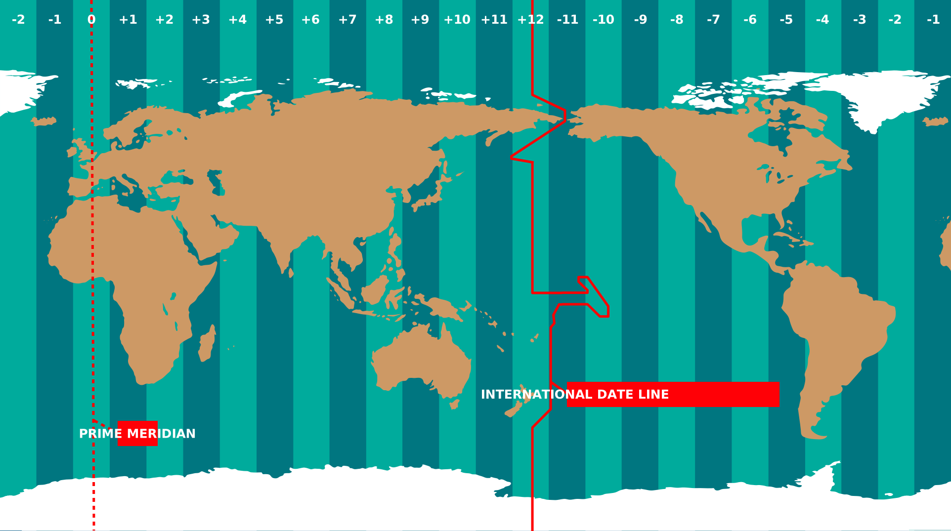
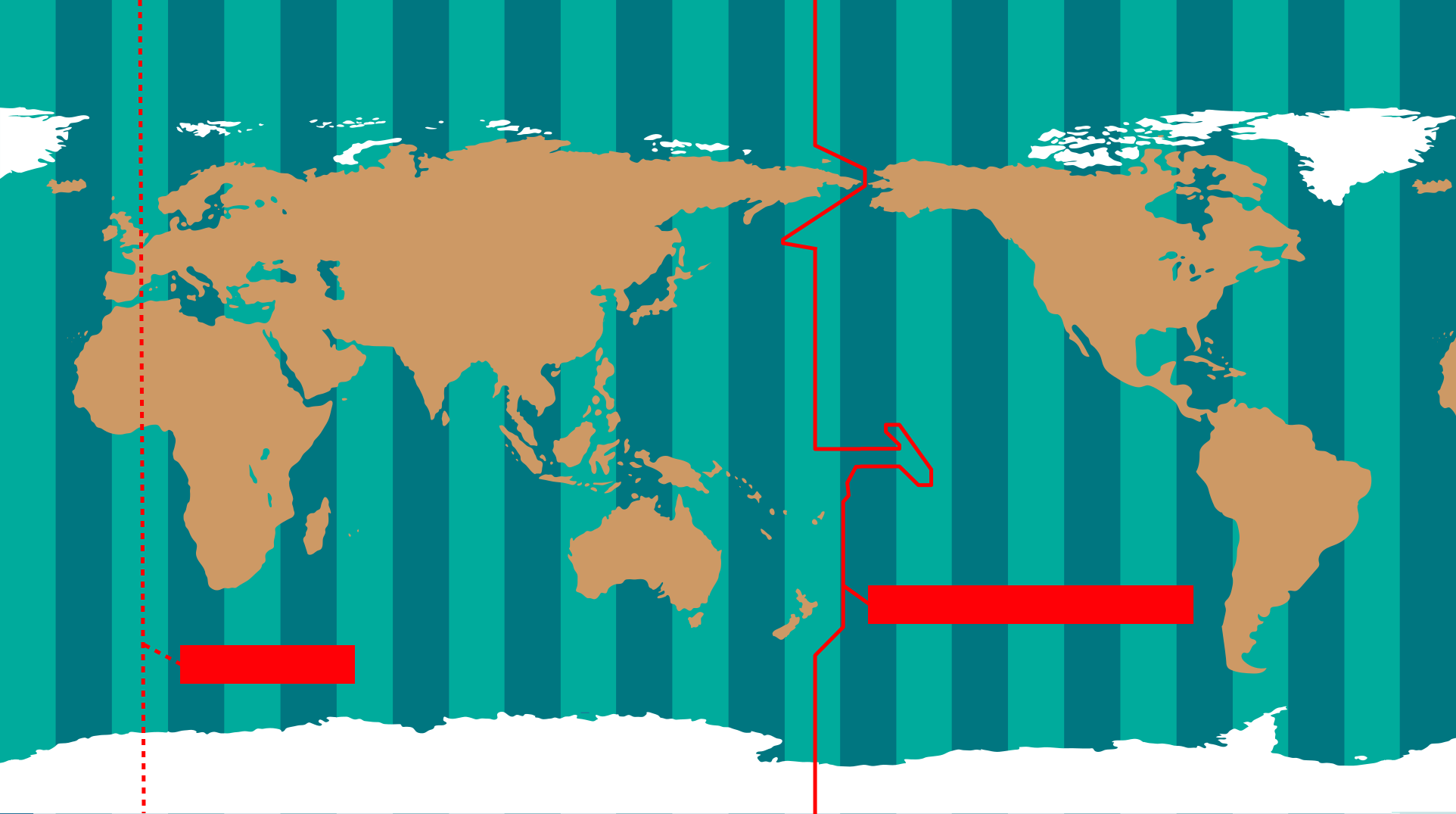
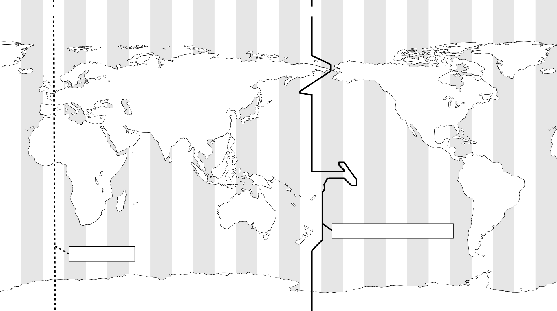
The International Date Line (shown here as a solid line) is a specific meridian which roughly follows the meridian of longitude 180°. The International Date Line passes north–south between Russia and Alaska, through the Pacific Ocean including parts of Micronesia and Polynesia, and to the east of Australia/New Zealand before reaching the South Pole on Antarctica. The International Date Line marks the boundary where calendar dates change by one. Therefore, regions to the west of the International Date line are one calendar day ahead of regions to the east.
The International Date Line does not always exactly follow the meridian of longitude 180°. This is partly to stop some territory of a country falling on the other side of the International Date Line than the rest of that country (the Aleutian Islands in the United States being a good example). Some countries also choose which side of the International Date Line they lie on. Samoa changed which side of the date line it lay on in 2011. At this point the International Date Line was moved to lie to the east of Samoa having previously passed to the west of Samoa.
On the opposite side of the world the dashed line marks the prime meridian (the meridian of longitude 0°). This is a line that passes through the Royal Greenwich Observatory in the UK. All time zones are measure relative to Universal Time which is the zero point for all timezones. The time zones marked at the top of the diagram are the timezones in the shaded regions excluding the effects of daylight savings time.
Crédito del diagrama Maria Cristina Fortuna/IAU OAE.
Estado de la traducción del diagrama: Aún no ha sido aprobado por un revisor o revisora
Licencia del diagrama: Creative Commons Reconocimiento 4.0 Internacional (CC BY 4.0) Creative Commons Reconocimiento 4.0 Internacional (CC BY 4.0) íconos
Términos relacionados del glosario:
Huso horario
, Línea Internacional de Cambio de Fecha
, Meridiano cero
, Tiempo Universal (UT)
Categorías:
Astronomía y sociedad
, El planeta Tierra
¿Quieres hacer tu propia traducción o versión de este diagrama? Entonces
descarga la versión SVG
de este diagrama en inglés (174.25 kB). Puedes editarla utilizando
programas como Inkscape (gratuito) o Adobe Illustrator
(de pago). Solo recuerda citar al autor del original de forma adecuada.
Also available in black and white ( imagen 174.25 kB).
También puedes crear tu propia versión o traducción de este diagrama añadiendotexto a una versión de
este diagrama sin texto. Solo tienes que descargar uno de los siguientes archivos:
Descargar archivo sin texto( imagen 192.66 kB)
Descargar archivo PDF sin texto (Archivo PDF 83.98 kB)
Also available in black and white:
Descargar archivo sin texto ( imagen 252.36 kB)
Descargar archivo PDF sin texto (PDF file 84.19 kB)
Los pies de foto de los diagramas que aparecen en la página web de la OAE fueron redactados, traducidos y revisados gracias al esfuerzo colectivo de la OAE, los Centros y Nodos de la OAE, los Coordinadores Nacionales de Education Astronómica (NAECs) de la OAE y otros voluntarios. Una lista completa de créditos para nuestro proyecto de traducción puede encontrarse aquí. Todos los pies de foto de los archivos multimedia se publican bajo una licencia Creative Commons CC BY-4.0 license y deben atribuirse a la "IAU OAE" como fuente. Los propios archivos multimedia pueden tener diferentes licencias (véase más arriba) y deben citarse tal y como se indica más arriba en "credit".
Si detectas algún error en este diagrama o en su pie de foto, por favor get contáctanos.